

Introduction
Saint-Jean-Cap-Ferrat is one of those rare places where natural beauty and refined living exist side by side in perfect balance. Stretching into the Mediterranean between Nice and Monaco, this legendary peninsula offers around 10 kilometres of maintained coastal trails that wind past hidden coves, ancient chapels and some of the most prestigious private estates on the French Riviera. Whether you are visiting for a day or considering making this corner of the Côte d’Azur your home, the hiking trails of Cap Ferrat offer an unmatched way to experience the peninsula at its most authentic. This guide covers every route, from a flat seaside stroll to the full loop around the cape, so you can choose the walk that suits you best.
Hiking Trails of Cap Ferrat: A Guide to the Saint-Jean-Cap-Ferrat Coastal Path
Temps de lecture : ~11 min
- The Coastal Trail Network at Cap Ferrat: An Overview
- The Three Main Hiking Trails on Cap Ferrat
- Practical Information Before You Set Out
- Hiking in Cap Ferrat Through the Seasons
- FAQ
- Cap Ferrat’s Coastal Paths at the Heart of Peninsula Life
The Coastal Trail Network at Cap Ferrat: An Overview
The Saint-Jean-Cap-Ferrat Tourist Office officially promotes three main coastal walks on the peninsula, each with its own character and level of difficulty. Together, they form a coherent network of signed routes that are open year-round and maintained by the municipality. A downloadable trail guide, available in both French and English, provides maps, distances and practical safety advice for each itinerary
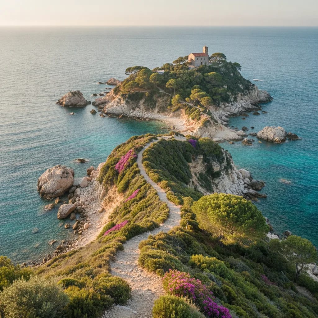
What makes these trails particularly appealing to an international audience is their accessibility. The terrain is gentle by French hiking standards, with no high-altitude passes or technical scrambling involved. The focus here is on scenic coastal walking rather than mountain trekking, which makes Cap Ferrat an ideal destination for those who want to enjoy the outdoors without physical strain. The Nice Côte d’Azur Metropolis tourism platform classifies these paths among the signature coastal experiences of the entire destination.
Beyond the three main routes, a longer connection links the peninsula to Nice along the coast, covering approximately 9 kilometres in around two and a half hours on foot. This means that residents of Cap Ferrat can, in principle, walk or hike all the way to the city centre without setting foot in a car, a detail that speaks volumes about the quality of life the peninsula offers.
The Three Main Hiking Trails on Cap Ferrat
| Trail | Distance | Approximate duration | Difficulty | Terrain & accessibility |
|---|---|---|---|---|
| Promenade Maurice Rouvier | Approx. 1.3 km | Around 25 to 30 minutes | Easy | Entirely paved and stair-free; suitable for families with pushchairs and visitors with reduced mobility. |
| Pointe Saint-Hospice Trail | Approx. 1.8 km | Between 40 and 60 minutes | Easy | Short loop on more uneven terrain; not formally accessible for wheelchairs. |
| Tour du Cap Ferrat | Approx. 4.8 km | Around 1 hour 30 minutes | Easy but more demanding | Full loop of the peninsula with cliff-edge and narrow coastal sections; caution advised for walkers with vertigo. |
The Promenade Maurice Rouvier
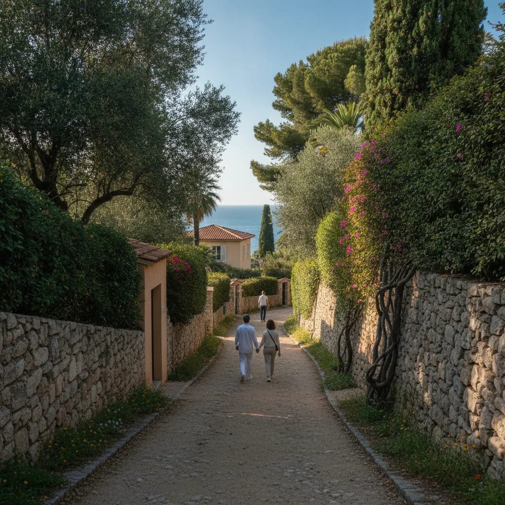
The Promenade Maurice Rouvier is the most accessible walk on the peninsula. Stretching approximately 1.3 kilometres along the eastern coastline, it connects the village of Saint-Jean-Cap-Ferrat to the neighbouring town of Beaulieu-sur-Mer and takes around 25 to 30 minutes at a leisurely pace. The path is entirely paved and free of stairs, making it suitable for families with pushchairs and visitors with reduced mobility.
The route begins near the town hall and follows the shoreline past the port and the Cros deï Pin beach, with views opening up across the Baie des Fourmis toward Beaulieu-sur-Mer. Along the way, walkers pass a succession of waterfront properties and private gardens that reflect the peninsula’s distinctly luxurious residential character. At the Beaulieu end, the Villa Kérylos, a remarkable early twentieth-century reconstruction of an ancient Greek villa, provides a striking cultural landmark.
For anyone considering a property in the area, this promenade illustrates what daily life on the eastern side of the cape could look like: a gentle morning walk along the sea, no traffic, and views that change with the light throughout the day.
The Pointe Saint-Hospice Trail
The Pointe Saint-Hospice trail is a short loop of approximately 1.8 kilometres around the headland on the eastern flank of the peninsula. It takes between 40 and 60 minutes to complete at a comfortable pace and is classified as easy, though the terrain is more uneven than the Promenade Maurice Rouvier and is not formally accessible for wheelchairs.
The path passes historical and religious landmarks that give this walk a contemplative, almost timeless quality. The Saint-Hospice chapel, a modest and atmospheric site, sits at the tip of the headland alongside a Belgian military cemetery. Small rocky inlets and natural coves punctuate the route, with glimpses of private gardens and estate walls rising above the path. The open sea stretches away to the south, uninterrupted.
This trail is particularly well suited to those who appreciate quieter, more reflective walks away from busier beaches. It carries a strong sense of authentic Riviera heritage that connects naturally to the older villas and carefully restored properties found throughout the peninsula.
The Tour du Cap Ferrat
The Tour du Cap Ferrat is the flagship walk of the peninsula and the one that most completely reveals what Cap Ferrat is. The loop covers approximately 4.8 kilometres and takes around one hour and thirty minutes to complete. It is classified as easy but more demanding than the other two routes. Sections of the path run along cliff edges and narrow coastal ledges, and the tourist office advises caution for those with a tendency toward vertigo.
The trail typically starts near the Chemin de la Carrière and the Cros deï Pin car park, both close to the village centre. From there, it follows the entire coastline of the peninsula through a landscape of pine forest, rocky shore and dramatic sea views. Key landmarks along the way include the lighthouse at Pointe Malalongue on the western coast, wide panoramas over Nice and the Estérel massif, and the Rade de Villefranche-sur-Mer opening up to the north. The Plage du Passable, a sheltered beach on the western side, offers views across the bay toward Fort du Mont-Alban.
What sets this loop apart is the density of exceptional properties it passes. The cape is home to more than 500 private villas, many of them among the most prestigious on the entire French Riviera. Walking the Tour du Cap Ferrat is, in effect, a journey through one of Europe’s most exclusive residential landscapes, where preserved natural coastline and immaculately maintained private estates exist in direct proximity.
Practical Information Before You Set Out
Preparing for the hiking trails of Cap Ferrat
Preparation matters, even on easy coastal trails. The following points will help you plan your walk safely and comfortably.
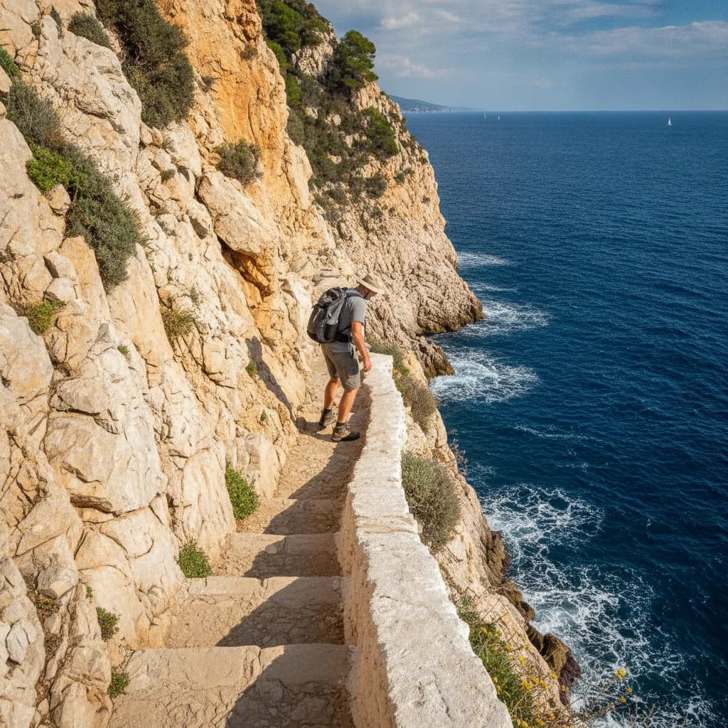
Weather and sea conditions: Check weather and sea conditions before departing, particularly for the Tour du Cap Ferrat. Strong swells or Mistral wind can affect cliff-edge sections. The Saint-Jean-Cap-Ferrat Tourist Office and the Municipal Police can advise on temporary closures.
Footwear: Wear closed shoes with a firm sole. Sandals or flip-flops are not appropriate for the rocky and occasionally slippery terrain of the Pointe Saint-Hospice or Tour du Cap Ferrat routes.
Sun protection and water: Bring water, a hat and sun protection, especially between May and September when the paths are exposed and shade is limited.
Respect for boundaries: Respect private property boundaries and stay on the marked coastal paths at all times, particularly in areas adjacent to residential estates.
Accessibility: For families with pushchairs or visitors with limited mobility, the Promenade Maurice Rouvier is the only route that is fully paved and stair-free.
Parking: Recommended parking for the Tour du Cap Ferrat is available at the Cros deï Pin beach car park or at the Place du Centenaire, both within easy walking distance of the village centre and the main trailheads.
Hiking in Cap Ferrat Through the Seasons
Best seasons for hiking trails of Cap Ferrat
One of the less obvious advantages of Cap Ferrat’s trail network is how well it performs outside the summer months. The Mediterranean climate keeps temperatures mild from October through to April, and the trails are significantly quieter during this period. Local travel press has specifically highlighted Cap Ferrat as an ideal winter hiking destination, combining comfortable walking conditions with an atmosphere of calm that the summer season rarely offers.
For those who own or are considering a property on the peninsula, this seasonal dimension is worth noting. The trails are maintained and open year-round, which means the quality of life they offer is not limited to a few months of the year. A morning walk along the coastal path in January, with clear air and unobstructed views over the sea, is an experience that is genuinely difficult to replicate elsewhere in Europe.
FAQ
Which Cap Ferrat trail is best for families with young children or pushchairs?
The Promenade Maurice Rouvier is the right choice for families with pushchairs or young children. At 1.3 kilometres, fully paved and without stairs, it is the only route on the peninsula that is accessible for pushchairs and visitors with reduced mobility. The walk takes around 25 to 30 minutes and follows the eastern coastline with views over the port and Cros deï Pin beach.
Is it possible to hike on Cap Ferrat in winter?
Yes, and the low season is arguably the best time to do it. The Mediterranean climate keeps conditions mild throughout winter, and the trails remain open and maintained year-round. Crowd levels are significantly lower between October and April, which makes the experience more peaceful and the views less obstructed. Local tourism professionals specifically promote Cap Ferrat as a winter hiking destination for this reason.
Which trail offers the most spectacular panoramic views?
The Tour du Cap Ferrat offers the most complete panoramic experience. The loop follows the entire coastline of the peninsula and includes views over Nice, the Estérel massif, the Rade de Villefranche-sur-Mer and the open Mediterranean. The lighthouse at Pointe Malalongue and the beach at Plage du Passable are among the most photographed viewpoints on the route. It is also the trail that passes closest to the greatest concentration of luxury villas on the cape.
Are guided walks available on Cap Ferrat?
Yes. Guided coastal hikes around Saint-Jean-Cap-Ferrat are available through local operators, offering small-group tours with commentary on the peninsula’s history, architecture and natural environment. The municipality has also occasionally organised commented walks lasting around two hours, at a modest cost and free for minors. For up-to-date schedules and availability, the Saint-Jean-Cap-Ferrat Tourist Office is the most reliable point of contact.
Cap Ferrat’s Coastal Paths at the Heart of Peninsula Life
The hiking trails of Cap Ferrat are more than a leisure activity. They are part of what defines daily life on the peninsula, a quiet, walkable, naturally preserved environment where the sea is always within reach. For those exploring the idea of owning a home between Nice and Monaco, these paths offer a direct and tangible way to understand what the peninsula has to offer beyond its reputation. Walking the Tour du Cap Ferrat, you pass through a landscape of pine and rock, sea air and stone walls, with the coastline unfolding around you in a way that no photograph can fully convey. If you are considering a property in this part of the French Riviera and would like to understand the area more deeply before making any decisions, the team at Riviera King is available to guide you through the local market with the discretion and expertise that a purchase of this nature deserves.